
Survey & drafting solutions
3D Laser Scanning, Dimensional Control, Survey, Drafting, and As-Built Modelling for industrial facilities across oil and gas, petrochemical, power, and process industries. From initial site surveys to final as-built documentation — accurate technical data that reduces project uncertainty and supports effective decision-making.
3D laser scanning
As-built modelling
Dimensional control
Offshore capable
Live facility scanning
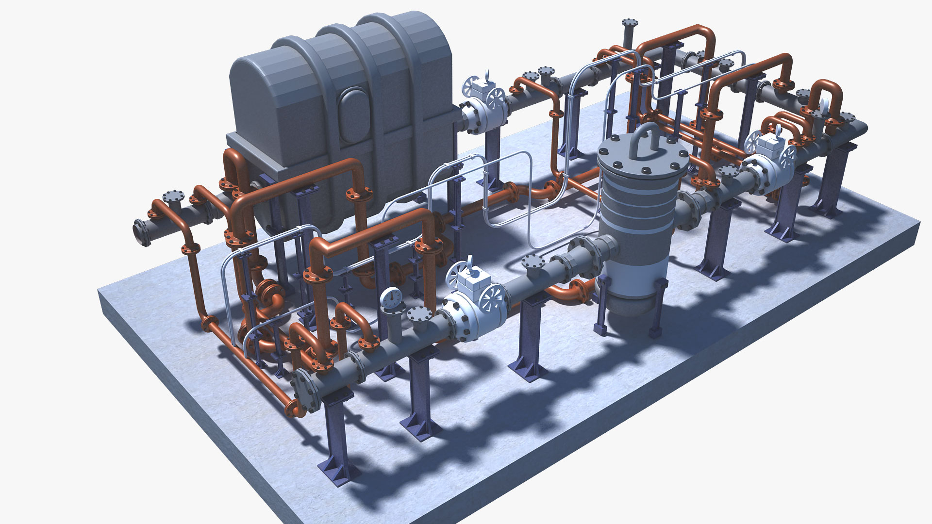
Accurate field data that
reduces project risk
CMSL's survey and drafting services help clients capture existing assets, validate field conditions, update engineering documentation, and develop accurate digital representations that support design, construction, operations, and maintenance activities throughout the asset lifecycle.
We provide the technical data required to reduce project uncertainty, improve constructability, and support effective decision-making — from initial site surveys through to final as-built documentation and 3D digital models.
Typical applications
What we deliver
Our survey & drafting services
Five integrated technical services covering the complete survey-to-model workflow — from field data capture through dimensional verification to final engineering deliverables.
Most requested
01
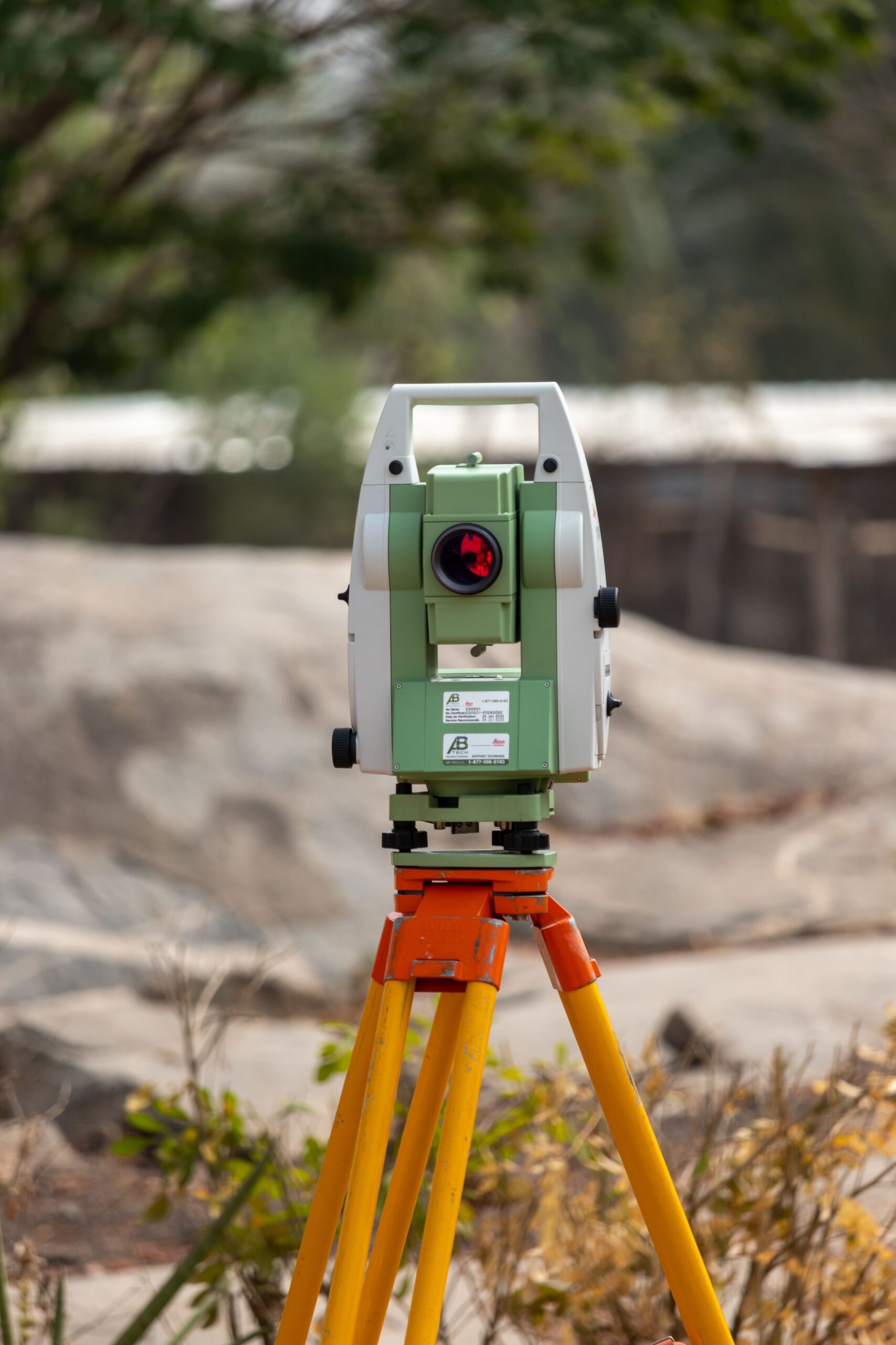
3D laser scanning
Using advanced terrestrial laser scanning technology, CMSL captures detailed spatial information from operating facilities, generating comprehensive point cloud datasets for engineering and asset management applications. One of the major advantages of laser scanning is that it can often be performed safely while the facility remains operational — reducing production interruptions and allowing projects to progress without unnecessary shutdowns.
Applications include
- Brownfield modifications
- Facility documentation
- Tie-in studies
- Shutdown planning
- Construction verification
- Digital asset capture
Survey
02
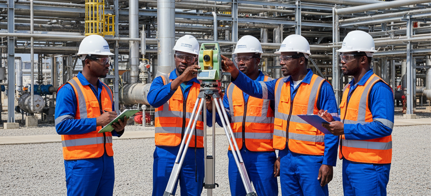
Industrial survey services
Our survey team performs precise field measurements and control surveys to establish reliable spatial references for engineering, construction, and maintenance projects. Our personnel have direct experience working within complex operating facilities including flow stations, gas plants, terminals, refineries, petrochemical plants, and offshore installations.
Services Include
- Topographical surveys
- Control surveys
- Equipment location surveys
- Elevation surveys
- Alignment verification
- Pipeline route surveys
- Facility mapping
Drafting
03

Engineering drafting
CMSL converts field measurements, survey information, and scan data into engineering drawings that accurately represent existing facility conditions. We routinely compare field conditions against existing drawings, identify discrepancies, update outdated documentation, and generate verified as-built drawings that accurately reflect the current facility configuration.
Supports
- Engineering design
- Construction planning
- Maintenance activities
- Regulatory compliance
- Asset documentation updates
Modeling
04
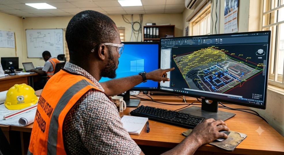
3D as-built modelling
We develop detailed as-built models from validated survey and scan data, enabling clients to visualise and manage their facilities in a digital environment. Our team can provide deliverables compatible with AutoCAD, Navisworks, Revit, Plant 3D, PDMS, E3D, and other client-specified software environments.
Supports
- Facility modifications
- Engineering studies
- Space management
- Maintenance planning
- Constructability reviews
- Clash detection
Verification
05
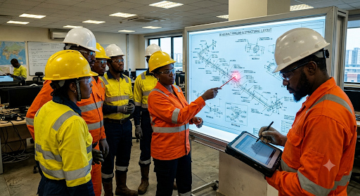
Dimensional control & verification
Our dimensional control services provide independent verification of critical measurements — dimensions, elevations, nozzle orientations, flange positions, structural interfaces, and equipment locations — before fabrication, installation, and tie-in activities commence. This is one of the most common applications of our survey services, reducing costly field rework and ensuring installation readiness.
Ensures
- Proper equipment fit-up
- Accurate tie-ins
- Structural alignment
- Installation readiness
- Reduced field rework
Key deliverables
What you receive
Depending on project requirements, deliverables may include any combination of the following — all produced under rigorous QA/QC procedures.
Why choose us
Why choose CMSL for survey & drafting
Industrial facility expertise, proven accuracy, and a fully integrated workflow from field data acquisition to final engineering deliverables.
Industrial facility expertise
Our personnel have experience working within complex operating facilities — flow stations, gas plants, terminals, refineries, petrochemical plants, and offshore installations. We understand the safety and operational constraints of live industrial environments.
Proven accuracy
We apply established survey controls, rigorous QA/QC procedures, and modern data acquisition technologies to ensure dependable results — every time, across every deliverable type.
Reduced project risk
Accurate field information minimises design assumptions, improves constructability, and helps prevent costly modifications during execution — directly protecting your project budget and schedule.
Integrated service delivery
CMSL provides a complete workflow — surveying, scanning, dimensional verification, drafting, modelling, quality control, and final documentation — under a single point of responsibility from data acquisition through final deliverables.
Compatible software platforms